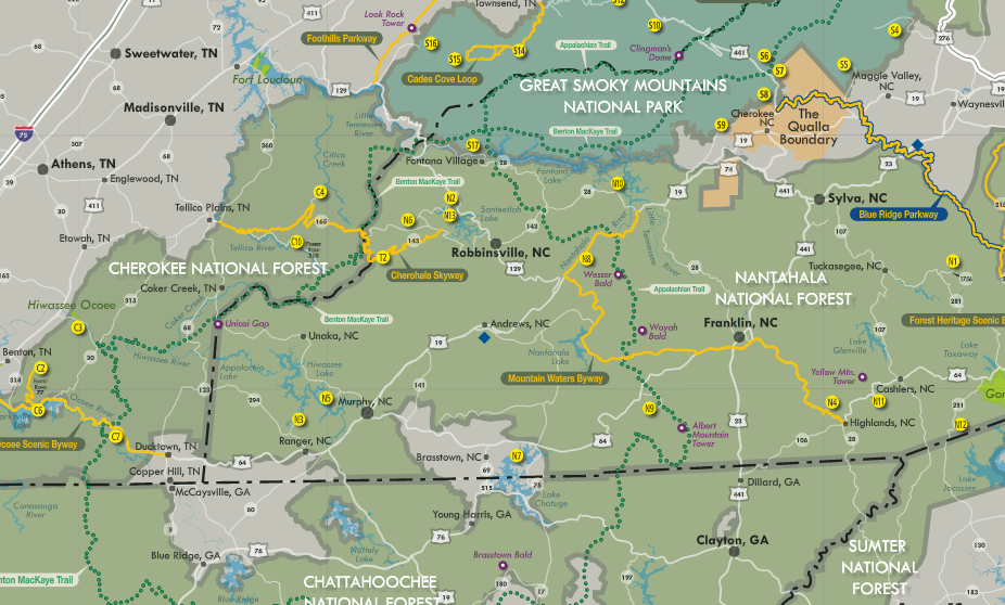
This past fall, visitors to the Southern Appalachians in North Carolina and Tennessee gained access to a unique resource to explore recreation areas on nearly 3,000,000 acres of public lands. The Cherokee National Forest asked the nonprofit PARTNERS of the Cherokee National Forest to reinvent and reprint a once-popular 15-year old recreation map that had fallen into disuse. The PARTNERS saw a larger opportunity. They organized a coalition of land management agencies, nonprofits and tourism departments, and they published a more user-friendly version of the map. The publication showcases recreational opportunities on federal and state lands and highlights scenic byways—all within the larger context of the Southern Appalachians.
Read more here:
http://www.publiclandsalliance.org/blogs/amanda-keith/2016/12/19/partners-of-the-cherokee-national-forest-collaborate-to-create-a-regional-recreation-map
Comments by Site Superuser Account